
LOCAL DELIVERY OPTIONS
Standard Delivery usually 3-7 days.Express Delivery usually 2-4 days.
PRICE GUARANTEE
If you find a cheaper price in the next 72 hours we will match it.
Original price was: 119,00 €.108,29 €Current price is: 108,29 €.
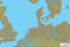
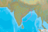
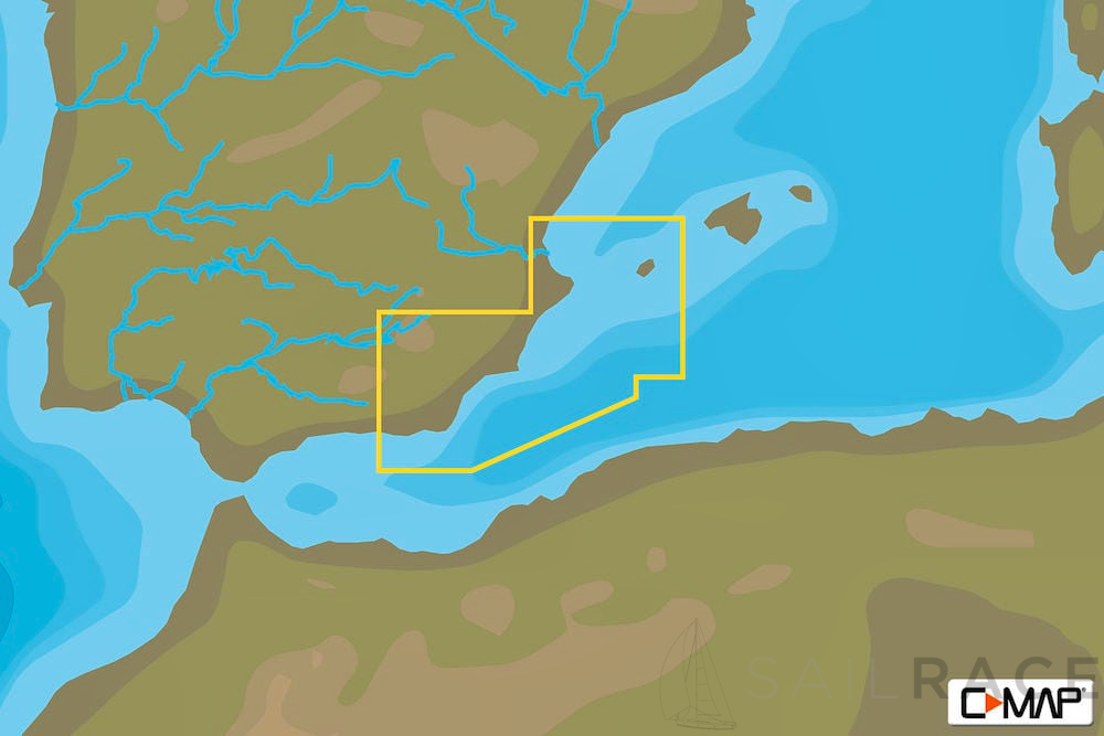
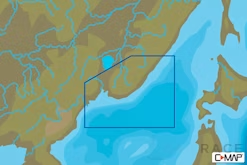
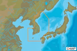
EM-N138 : MAX-N L: ADRA TO VALENCIA : Mediterranean and Black Sea – Local.
Standard Delivery usually 3-7 days.Express Delivery usually 2-4 days.
If you find a cheaper price in the next 72 hours we will match it.
Claim your initial 5% discount on your first order by registering on the SailRACE community.
Get support by officially certified experts. Detail us your refitting needs and we will help you determining the best solution.
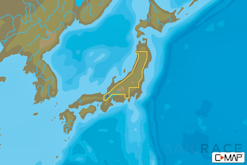
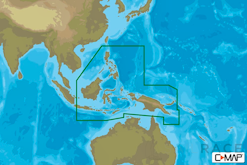
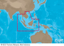
Developed using official and up-to-date sources around the world, MAX-N provides Depth Areas and Contours, Spot Soundings, NavAids, Light Sectors, Wrecks/Obstructions, Anchorage Areas, Small Craft Facilities and more. MAX-N also provides boaters with additional C-MAP features such as exclusive detailed marina charts and coverage of inland rivers/lakes (where available).
MAX-N cartography is available in Wide and Local cuts, where the accurate C-MAP chart detail trusted worldwide comes in a coverage area and price that are just the “right fit” for many boaters.
Choose MAX-N and sail with confidence on every boating adventure.

| Weight | 0,044 kg |
|---|---|
| Dimensions | 9 × 18 × 2 cm |
| Brand | |
| Family | |
| Model | |
| Class Type | |
| Component | |
| Item Type |
The following products are from the same Category as this one:


Reviews
There are no reviews yet