
LOCAL DELIVERY OPTIONS
Standard Delivery usually 3-7 days.Express Delivery usually 2-4 days.
PRICE GUARANTEE
If you find a cheaper price in the next 72 hours we will match it.
117,39 €
Standard Delivery usually 3-7 days.Express Delivery usually 2-4 days.
If you find a cheaper price in the next 72 hours we will match it.
Claim your initial 5% discount on your first order by registering on the SailRACE community.
Get support by officially certified experts. Detail us your refitting needs and we will help you determining the best solution.
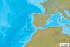
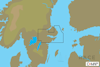
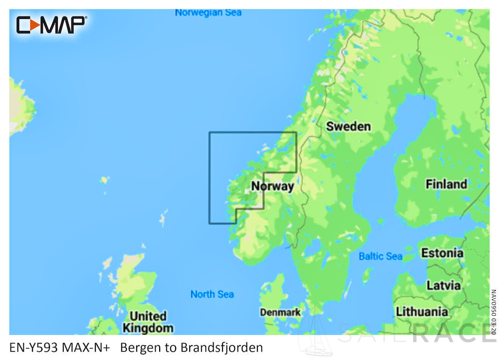
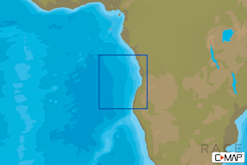
Max-N+ is the go-to chart to power your fishing, cruising or sailing trips.
Compatible with B&G, Simrad & Lowrance chartplotters. Check the C-MAP website for full compatibility by manufacturer and model.
MAX-N+ Charts are C-MAP’s premium offering and are available in Local / Wide / Continental formats.
Like all C-MAP charts, when you buy a MAX-N+ Chart you will receive free chart updates for 12 months.
Max-N+ Local & Wide Chart Features include:
| Weight | 0,08 kg |
|---|---|
| Dimensions | 13,5 × 19 × 0,08 cm |
| SKU | M-EN-Y593-MS |
| Brand | |
| Class Type | |
| GTIN | 8053800671118 |
| Component | |
| Family | |
| Item Type | |
| Model |
The following products are from the same Category as this one:
C-MAP MAX-N-LOCAL-EURO
C-MAP MAX-N-LOCAL-EURO
C-MAP MAX-N-LOCAL-EURO
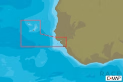
C-MAP AF-N214 Capo Verde And Guinea Bissau MAX-N Afica Local
C-MAP MAX-N-LOCAL-EURO
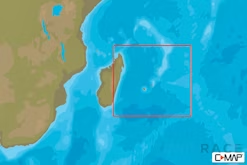
C-MAP AF-N219 Mauritius And Reunion Islands MAX-N Afica Local
C-MAP MAX-N-LOCAL-EURO
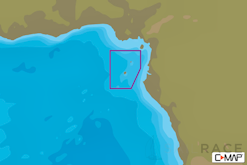
C-MAP AF-Y213 Sao Tome & Principe Islands MAX-N+ Africa Local

Reviews
There are no reviews yet