
LOCAL DELIVERY OPTIONS
Standard Delivery usually 3-7 days.Express Delivery usually 2-4 days.
PRICE GUARANTEE
If you find a cheaper price in the next 72 hours we will match it.
Original price was: 167,23 €.152,18 €Current price is: 152,18 €.
Standard Delivery usually 3-7 days.Express Delivery usually 2-4 days.
If you find a cheaper price in the next 72 hours we will match it.
Claim your initial 5% discount on your first order by registering on the SailRACE community.
Get support by officially certified experts. Detail us your refitting needs and we will help you determining the best solution.
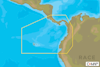
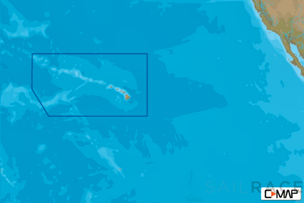
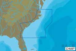
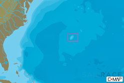
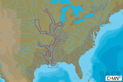
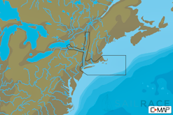
With updated software, owners of compatible MFDs will be able to access features like these, available in Local or Wide coverage:
| Weight | 0,08 kg |
|---|---|
| Dimensions | 13,5 × 19 × 0,08 cm |
| SKU | M-NA-Y963-MS |
| Brand | |
| Class Type | |
| GTIN | 9420024192733 |
| Component | |
| Family | |
| Item Type | |
| Model |
The following products are from the same Category as this one:
C-MAP MAX-N+-LOCAL-USD1
C-MAP MAX-N+-LOCAL-USD1
C-MAP MAX-N+-LOCAL-USD1
C-MAP NA-Y038 US. rivers. Ms, Red, Ar, Ouachita, Il, Mo MAX-N+ AMER Local
C-MAP MAX-N+-LOCAL-USD1
C-MAP NA-Y940 Cape Cod, Long Is.& Hudson River MAX-N+ AMER Local
C-MAP MAX-N+-LOCAL-USD1

Reviews
There are no reviews yet