

LOCAL DELIVERY OPTIONS
Standard Delivery usually 3-7 days.Express Delivery usually 2-4 days.
PRICE GUARANTEE
If you find a cheaper price in the next 72 hours we will match it.


Original price was: 1.149,00 €.1.045,59 €Current price is: 1.045,59 €.
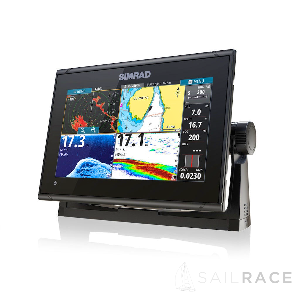
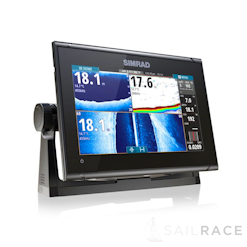
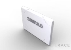
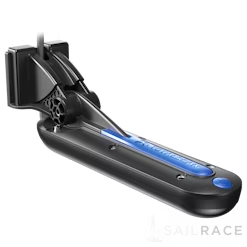
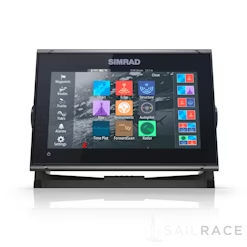
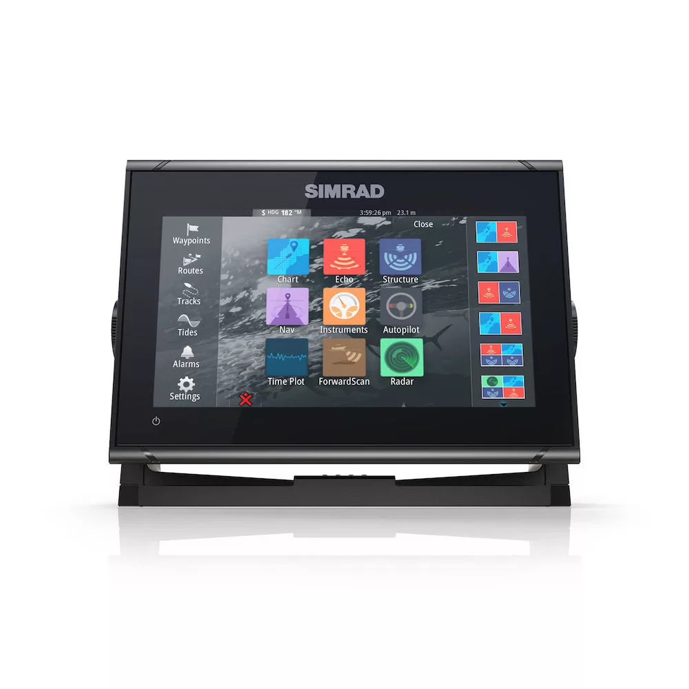
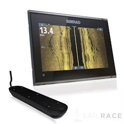
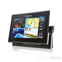
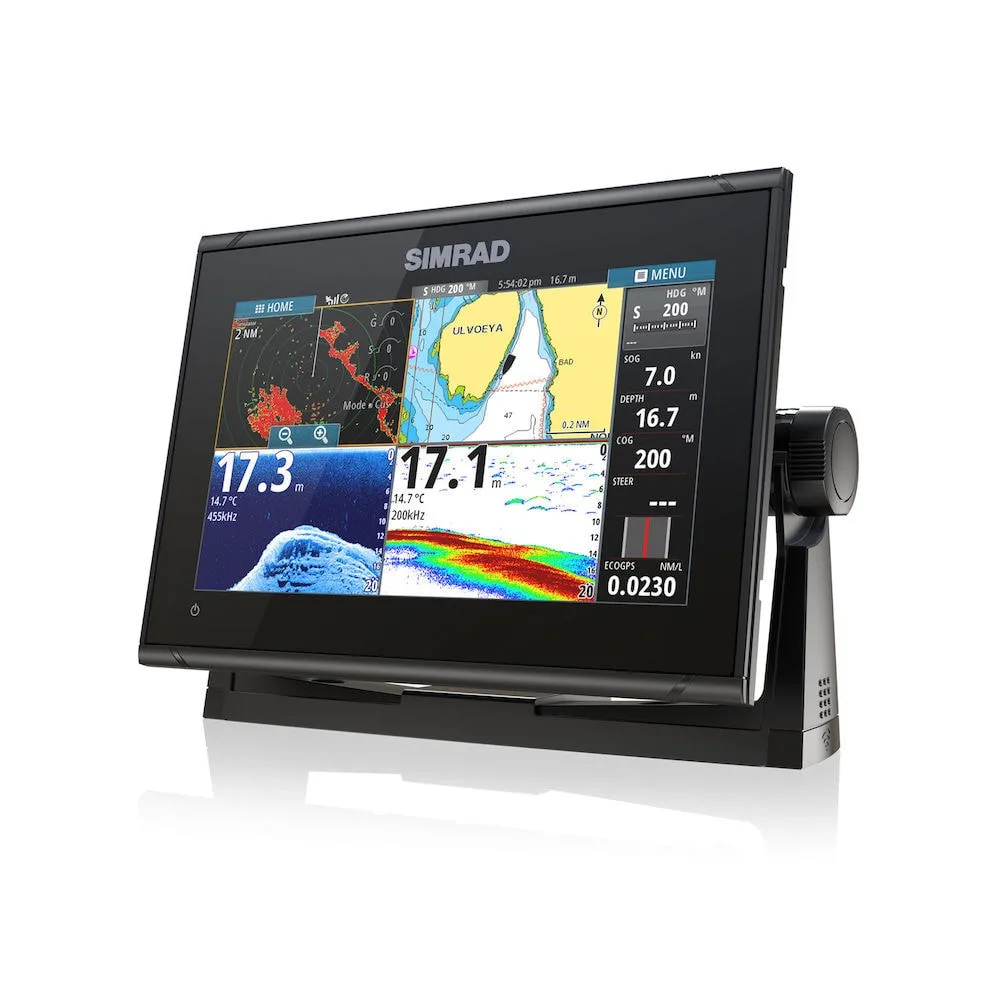
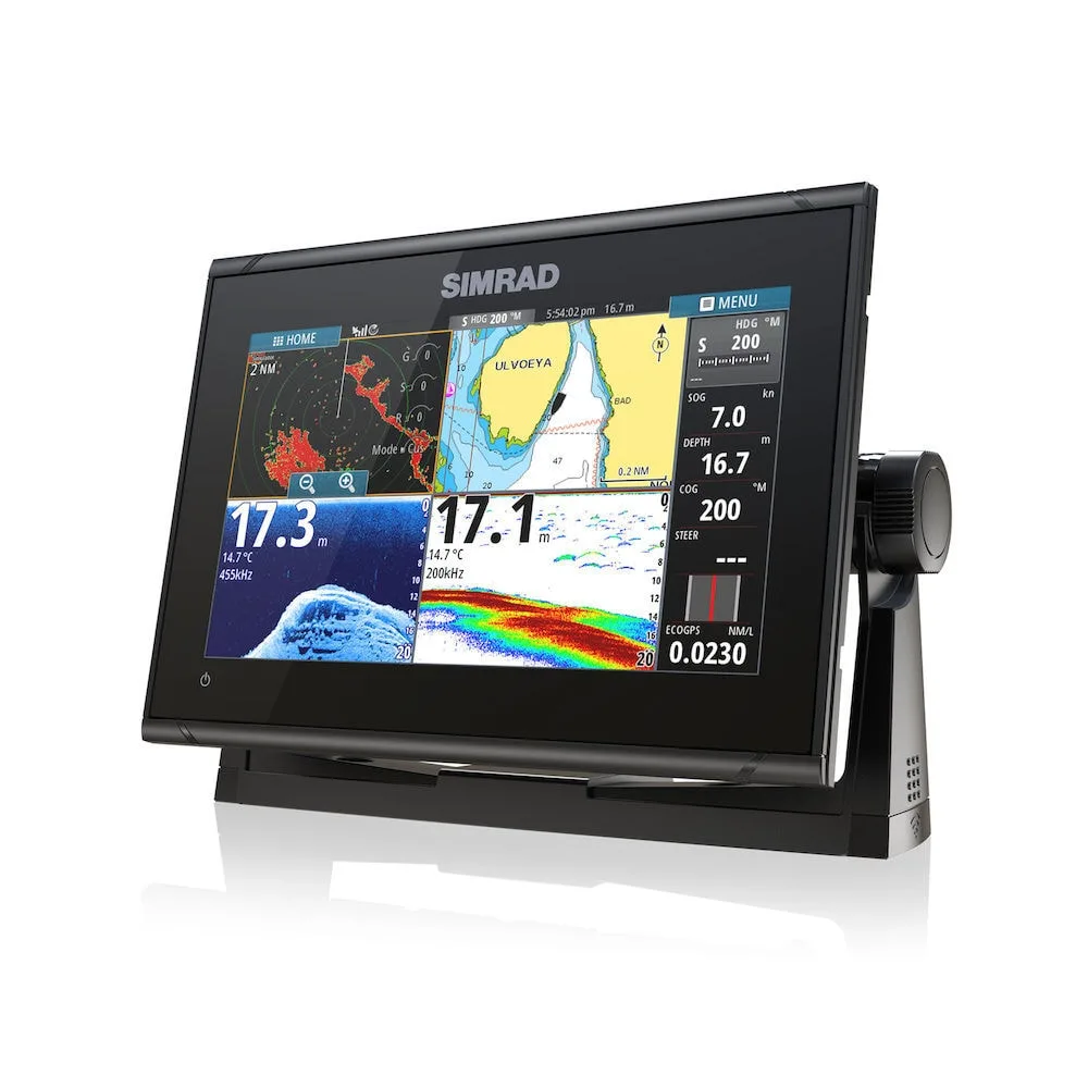
Simrad GO9 XSE Multi-function display with built in Echosounder, GPS and Wi-Fi. Super-bright, 9 inch multi-touch widescreen display with NMEA 2000 and radar interface. Includes a C-MAP Insight Pro SD card.
Standard Delivery usually 3-7 days.Express Delivery usually 2-4 days.
If you find a cheaper price in the next 72 hours we will match it.
Claim your initial 5% discount on your first order by registering on the SailRACE community.
Get support by officially certified experts. Detail us your refitting needs and we will help you determining the best solution.
-Easy to use, High brightness 9” tablet style touchscreen
-Built-in advanced echosounder capable of displaying CHIRP, Forwardscan, Sidescan and Downscan images
-Radar port for connection to a Simrad solid state radar
-Direct Audio, Autopilot, communication and engine connection and control over NMEA2000
-Built-in WiFi for mobile device mirroring and internet downloads of charting and software
-Easy to use multi touch software
-Safely and easily navigate using your favourite cartography (Insight, Navionics, CMAP)
-Determine depth, bottom type and find fish using one of the many echosounder technology options
-Quick and simple control of entertainment systems connected on NMEA2000
-Vessel circuit control when connected to a C-zone digital switching system
-View and monitor engine data while underway
-Low Profile Glass dash styling
-Super bright widescreen display
-Built in Wi-Fi connectivity
-Software update notifications and downloads when connected to the internet
-Screen mirroring when connected to a mobile device
-Built in 10 Hz GPS antenna
-Dual Micro SD card slot
-Built in echosounder (Broadband & Chirp)
-Built in DownScan and Sidescan Imaging (transducer required)
-Built in Forwardscan Imaging (transducer required)
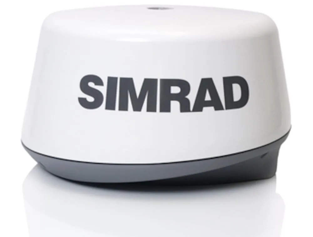
-Radar port for direct connection to Simrad 3G/4G or Halo Radar scanners
-Operable with OP40/OP50 Remote
-Advanced NMEA2000 networking
-C-MAP Insight Pro SD card
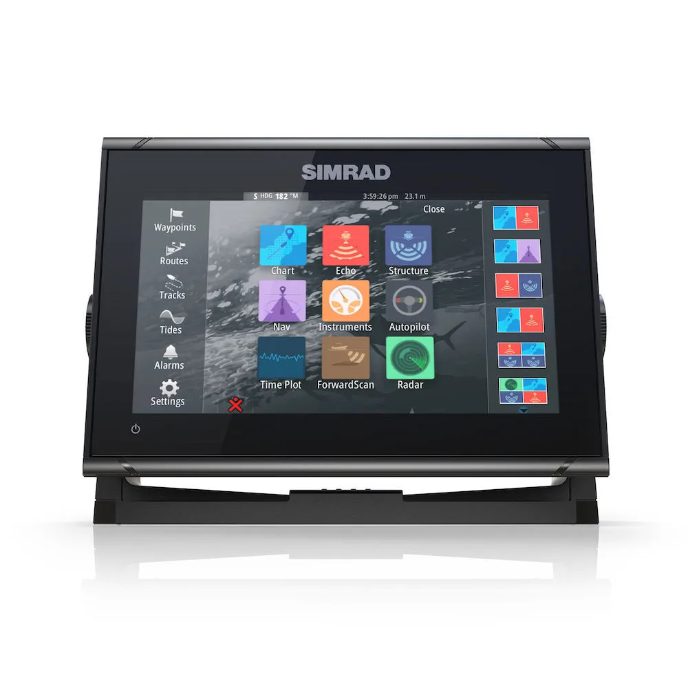
The GO9 XSE offers true ease of use with intuitive touchscreen controls that smartphone
and tablet users will find instantly familiar. Tap to create or select waypoints, pinch to zoom, or tap and drag to pan smoothly across charts. Simple home screen and menu layouts make all functions quickly accessible, with large and clearly-captioned icons that are easy to recognise and tap.
The GO9 XSE is a full-featured chartplotter, with support for the widest available
range of cartography options including C-MAP® MAX-N, Navionics®, Insight®, Insight Genesis®, and NV Digital® Charts. Navigate confidently to destinations near and far, with the flexibility to choose charts that best fit your needs and location. Set and record those destinations easily with simple waypoint mangement: mark waypoints with a touch, and assign meaningful names that make it easy to look up your desired destination whether you’ve mapped out ten places or a thousand.
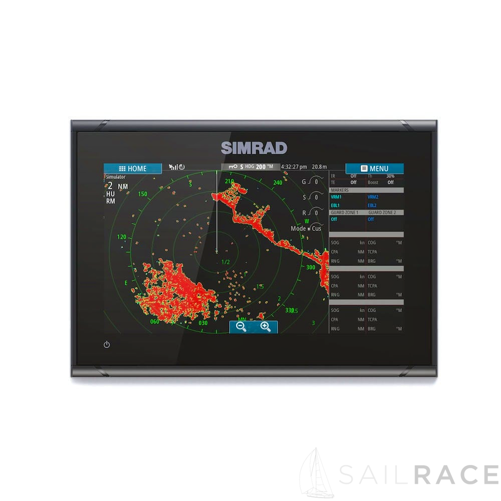
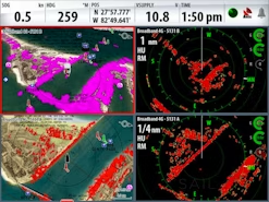
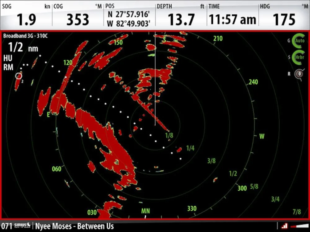
The Simrad GO9 XSE is a full-featured radar display with plug-and-play connectivity to Simrad Broadband 3G™, Broadband 4G™, and Halo™ Pulse Compression radar systems. Cruise confidently through crowded harbours, navigate safely in poor visibility, keep an eye on distant weather cells, and find flocks of feeding birds that hint at good fishing spots. Automatic tuning helps to provide a clear radar picture in any conditions, while radar overlay combines radar data with navigational charts for an easy-to-interpret view of your surroundings.
The Simrad GO9 XSE is fully customisable to suit your vessel and your favourite
on-water activities – from power boating, to fishing, to water sports. Customise your home screen with shortcuts to the features you use most, and personalise it with your choice of wallpaper. Adjustable split-screen views and customisable panel layouts let you see everything you need on-screen at once, whatever your activity.
Plan Smarter with TripIntel™ Technology
Designed for power boaters, TripIntel technology tracks and displays the key
information you need to plan safe and enjoyable days on the water. Make smart decisions with fuel range overlaid on charts, easy access to current and future tide levels, and a detailed history of your previous trips including the route you took and how your boat performed.
Automatic routing brings the convenience of in-car navigation to boating, helping you to plot a route and get underway with less delay. Simply select a destination, and your GO XSE display will suggest the shortest, safest route taking into consideration the draught and dimensions of your vessel. This feature is available with Navionics+ or Navionics Platinum charts (Navionics Autorouting), and with Jeppesen CMAP MAX-N+ charts (Jeppesen Easy Routing).
-EasyRouting / AutoRouting not available in the USA
With a high-speed GPS receiver updating your position ten times every second, the Simrad GO9 XSE is ideal for use aboard fast-moving RIBs and powerboats. Watch your boat’s movement tracked smoothly, accurately, and in real-time, without ‘jumping’ from point to point on the display.
Designed with power boating in mind, the Simrad GO9 XSE offers a unique Cruise Charting page that brings together crucial navigation data and charts in one easily readable display. Choose the information most relevant to your crusing style and on-water activities with the ability to edit on-screen data items.
The Simrad GO9 XSE connects to any NMEA 2000®-capable equipment aboard your vessel including outboard and inboard engines; fuel level and flow meters; speed, heading, and water temperature sensors; and much more. Create your own custom digital instrument displays, bringing a wealth of information to even the most crowded dash while keeping a clean look with as few gauges as possible.
Knowing the true depth beneath your hull can help you enjoy your time on the water with fewer worries, and makes it easier to locate suitable anchorages in unfamiliar waters. With built-in sonar, just add a suitable sonar transducer for accurate, real-time depth tracking. A scrollable depth history view lets you track back and easily set waypoints for promising anchorages, while StructureScan Imaging™ combines DownScan and SideScan sonar to offer a picture-like view of the bottom beneath your vessel.
Using an optional ForwardScan transducer, this forward-looking sonar technology provides a clear two-dimensional image of the bottom in front of your vessel, allowing you to navigate shallow or poorly-charted waters with confidence. With real-time updates and a forward-looking view of up to eight times your current depth, ForwardScan lets you relax and enjoy a safer day on the water.
Whether fishing is your life or just a casual hobby, any fishing trip will benefit from the extensive array of built-in sonar technology on the Simrad GO9 XSE. Add a suitable transducer, available separately or bundled with your display, and the GO9 XSE works as a powerful fishfinder with CHIRP-enabled broadband sonar for clear detection of fish throughout the water column. With an optional HDI or TotalScan transducer, the GO9 XSE also offers StructureScan HD sidescan imaging for a picture-like view of fish-holding structure beneath and around your boat.
If you’re not at home on the water without a good soundtrack, the Simrad SonicHub®2
marine audio system is the perfect companion to a GO9 XSE display. Stream music
from Bluetooth® connected tablets, smartphones, and other mobile devices, play MP3 files from a USB flash drive, or listen to the SonicHub 2’s built-in AM/FM radio. SonicHub 2 brings complete control of your audio entertainment to your GO9 XSE display, eliminating the need for a separate stereo head-unit and letting you listen to your music, your way.
With Wi-Fi built in, the Simrad GO9 XSE provides direct access to GoFree cloud services
including easy wireless map downloads, software updates, and more. Whether hooked up to your home Wi-Fi with your boat trailered in the driveway, logged in to your marina’s Wi-Fi, or tethered to your smartphone out on the lake, you can access GoFree cloud services anywhere you have an internet connection. On the water, GoFree connects the Simrad GO9 XSE to your mobile devices, mirroring your display’s screen on your smartphone or giving you full remote control from your tablet with the free GoFree Controller app.
The Simrad GO9 XSE is the only GO Series display compatible with SiriusXM Marine satellite weather, via the optional WM-3 expansion module, for real-time access to weather information right on your display. With onboard access to weather radar, surface buoy reports, NOAA Marine Zone forecasts and more, you can check out the conditions offshore before you even leave the dock. SiriusXM Marine is a subscription service, exclusively available within North America.
-Built-in GPS receiver works in any bracket-mount installation, and when flush-mounted with most fibreglass hulls. When flush-mounted in a metal hulled vessel, an external GPS receiver such as the Simrad GS25 may be required.

| Compliance | CE, C-Tick, HDMI, EN 60950-1:2006, EN 60945:2002 EN 300 440-2, V1.4.1 |
|---|
| Manouevres / Turn Patterns | U-turn, Spiral-turn, C-turn, Zig-zag, Square-turn, Lazy S-turn, Depth contour tracking |
|---|---|
| Steering Modes | Auto, Nav., No Drift, Follow up, Non-follow up, Turn patterns, Standby, *Wind, *Wind NAV. (*Boat type set to Sail) |
| Charts Supported | Insight, Navionics (Gold, NAV+ Platinum+) , C-MAP (MAX N, MAX N+) NV Digital (Raster US Charts) |
|---|
| NMEA 0183 Sentences supported | Exports NMEA0183 over WiFi |
|---|---|
| Bluetooth | Internal |
| Ethernet | 1 x 5 pin yellow connector x 1 Mbit. Radar and Sirius (USA only) connectivity only (unless unlocked) |
| N2K PGNs | Receive only59392 ISO Acknowledgement, 59904 ISO Request, 60928 ISO Address Claim, 65285 Temperature with Instance, 65323 Data User Group Request, 65325 Reprogram Status, 65341 Autopilot Mode, 65480 Autopilot Mode, 127245 Rudder, 127251 Rate of Turn, 127257 Attitude, 127488 Engine Parameters, Rapid Update, 127489 Engine Parameters, Dynamic, 127493 Transmission Parameters, Dynamic, 127503 AC input status, 127504 AC Output Status, 127505 Fluid Level, 127506 DC Detailed Status, 127507 Charger Status, 127508 Battery Status, 127509 Inverter Status, 129033 Time & Date, 129038 AIS Class A Position Report, 129039 AIS Class B Position Report, 129040 AIS Class B Extended Position Report, 129794 AIS Class A Static and Voyage Related Data, 129801 AIS Addressed Safety Related Message, 129802 AIS Safety Related Broadcast Message, 129808 DSC Call Information, 129809 AIS Class B “CS” Static Data Report, Part A, 129810 AIS Class B “CS” Static Data Report, Part B, 130313 Humidity, 130314 Actual Pressure, 130576 Small Craft Status, 130842 SimNet DSC Message, 130851 Event Reply, 130817 Product Info, 130820 Reprogram Status, 130832 Fuel Used – High Resolution, 130834 Engine and Tank Configuration, 130838 Fluid Level Warning, 130843 Sonar Status, Frequency and DSP Voltage,Transmit and Receive:61184 Parameter Request/Command, 65289 Trim Tab Insect Configuration, 65291 Backlight Control, 65292 Clear Fluid Level Warnings, 65293 LGC-2000 Configuration, 126208 ISO Command Group Function, 126992 System Time, 126996 Product Info, 127237 Heading/Track Control, 127250 Vessel Heading, 127258 Magnetic Variation, 128259 Speed, Water referenced, 128267 Water Depth, 128275 Distance Log, 129025 Position, Rapid Update, 129026 COG & SOG, Rapid Update, 129029 GNSS Position Data, 129283 Cross Track Error, 129284 Navigation Data, 129539 GNSS DOPs, 129540 GNSS Sats in View, 130074 Route and WP Service – WP List – WP Name & Position, 130306 Wind Data, 130310 Environmental Parameters, 130311 Environmental Parameters, 130312 Temperature, 130577 Direction Data, 130840 Data User Group Configuration, 130845 Parameter Handle, 130850 Event Command, 130831 Suzuki Engine and Storage Device Config, 130835 SetEngineAndTankConfiguration, 130839 Pressure Insect ConfigurationTransmit only65287 Configure Temperature INSOcts, 65290 Paddle Wheel Speed Configuration, 129285 Route/Waypoint Data, 130818 Reprogram Data, 130819 Request Reprogram, 130828 Set Serial Number, 130836 Fluid Level Insect Configuration, 130837 Fuel Flow Turbine Configuration |
| NMEA 0183 | None |
| NMEA 2000 | 1 x NMEA 2000 Micro-C port, 1 LEN |
| PC Connectivity | None |
| Video | None |
| WiFi | Internal |
| Backlight Color | White |
|---|---|
| Resolution | 800×480 |
| Screen Brightness | 1200 nits |
| Size and Type | WVGA Colour TFT LCD |
| Viewing Angles | 80° top/bottom, 80° left/right |
| Power Consumption, max. | 20 W |
|---|---|
| Power Consumption, typical | 12 W |
| Recommended Fuse Rating | 3A |
| Supply Voltage | 10 – 17 V DC |
| Operating Temperature Range | “-15°C to +55°C (5° F to 131° F) |
|---|---|
| Shock and Vibration | CE, C-Tick, HDMI, EN 60950-1:2006, EN 60945:2002 EN 300 440-2, V1.4.1 |
| Storage Temperature Range | “-20°C to +60°C (4°F to 140°F) |
| Waterproof rating | IPX 6 and 7 |
| Correction | WASS, MSAS, EGNOS, GLONASS |
|---|---|
| GPS Receiver Channels | 32 Channels |
| Position Accuracy | Horizontal Accuracy 3 m (9.8 ft.) |
| Time to First Fix | Cold start less than 90 seconds exposed to open sky, Satellite Reacquisition 5 sec |
| Update rate | 10 Hz |
| AIS | Receive AIS data over NMEA 2000 only |
|---|---|
| Autopilot | Auto, Nav., No Drift, Follow up, Non-follow up, Turn patterns, Standby, *Wind, *Wind NAV. (*Boat type set to Sail). Requires STBY button or Controller with STBY button to commission |
| Cartography included | TBD |
| Cartography supported | Insight, Navionics (Gold, NAV+ Platinum+) , C-MAP (MAX N, MAX N+) NV Digital (Raster US Charts) |
| Digital Switching | BEP C-Zone |
| External Storage | 2 Micro SD slots, max. 32GB each. >32 GB format to NTFS |
| GPS | Internal, 10Hz, WASS, MSAS, EGNOS |
| Internal Storage | 90MB |
| Multimedia | via SonicHub2, Fusion Link, *Sirius, **JL Audio. *USA only, **AUST. & NZ only) |
| Radar (inc. compatibility) | Halo, Broadband, HD Radars |
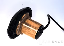
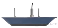
| Sonar (inc. compatibility) | Integrated CHIRP / DownScan / ForwardScan. Single 9 Pin Xsonic Connector |
| Weather | SiriusXM via WM-3 (USA only), GRIB |
| Waypoints, Routes, Tracks | 6000 waypoints, 500 Routes with 100 max route points, 50 tracks with up to 12,000 track points. |
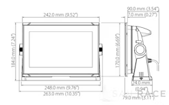
| Dimensions (W x H x D) | 243 mm x 171 mm x 83 mm (9.56″ x 6.71″ x 3.26″) (no bracket) |
|---|---|
| Mounting Type | Bracket or Panel |
| Weight | 1.315 kg (2.9 lbs) |
| Warranty Period | 2 Years |
|---|---|
| Interface | Touch screen, OP40 or OP50 controller via NEA 2000 |
| Languages | Standard Language Pack: English(US), English(UK), Danish, German, Spanish, Finnish, French, Greek, Icelandic, Italian, Dutch, Norwegian, Portuguese, Swedish. Other Language unlocksAsian Language Pack: English (US), Japanese, Korean, Thai, Chinese, Eastern European Language Pack: English (US), English (UK), Bulgarian, German, Spanish, French, Hebrew, Croatian, Hungarian, Italian, Lithuanian, Latvian, Polish, Slovak, TurkishRussia/Ukraine Language pack: English (US), English(UK), German, Spanish, French, Italian, Russian, UkrainianMiddle Eastern Language Pack: English (US), English (UK), Arabic, German, Spanish, Farsi, French, Italian |

| Weight | 4,6 kg |
|---|---|
| Dimensions | 23 × 32,2 × 24 cm |
| Brand | |
| Family | |
| Model | |
| Class Type | |
| Component | |
| Item Type |
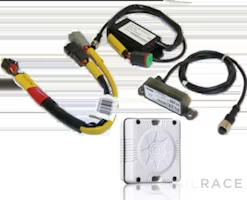
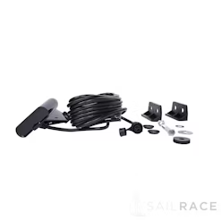
The following products are already included on the shipment when you buy this one:
Navico Chartplotters Common Spares
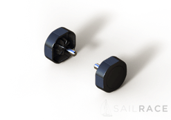
Navico Gimbal Bracket Knobs for HDSGen2T/Elite7, NSS/NSSevo2, Zeus2
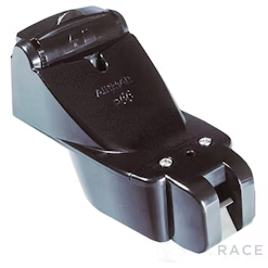
Simrad GO9 XSE
Navico Chartplotters Common Spares
Simrad NSE Spares
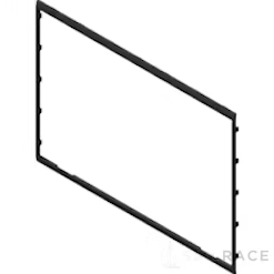
Navico Chartplotters Common Spares
Navico Chartplotters Common Spares
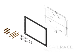
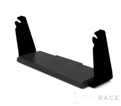
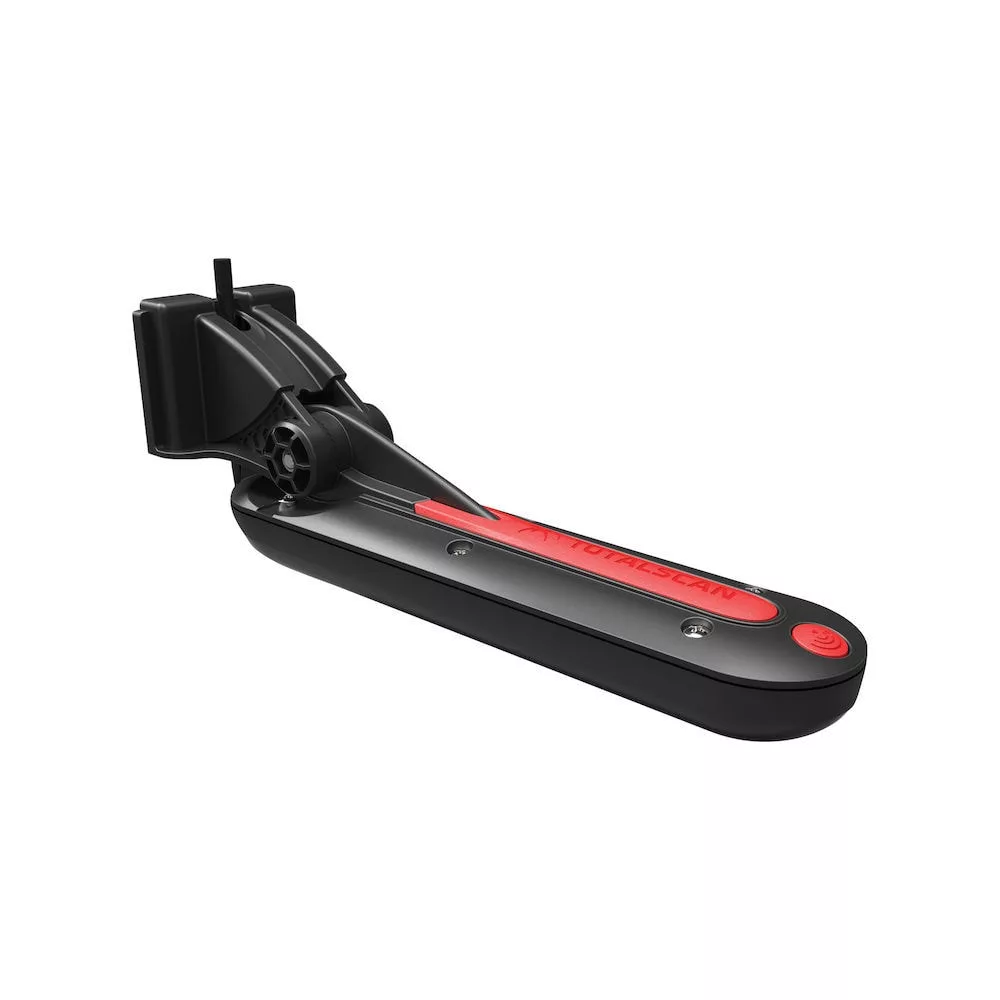
Simrad Gimbal mounting bracket for GO9, NSS7 evo3, and Vulcan9, Zeus3 7 (Plastic)
Consider the following accessories when buying this product:
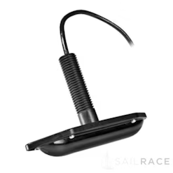
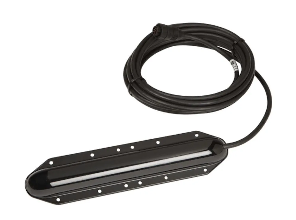
Navico TotalScan Skimmer
Navico XDCR Navico Adapters
Navico StructureScan HD Transducers
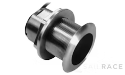
Navico Thru-Hull
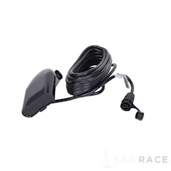
Navico HDI Skimmer
Navico HDI SKIMMER LOW/HIGH 455/800 with 9pin xSonic connector
Navico Skimmer (HDI)
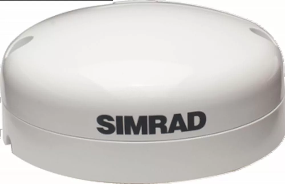
Simrad GS25
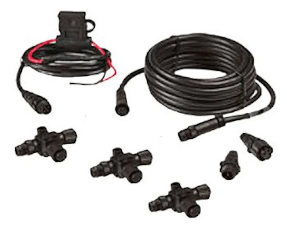
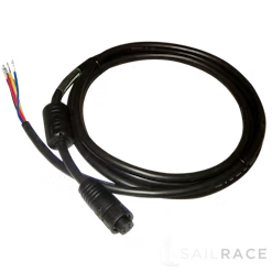
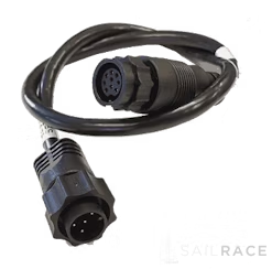
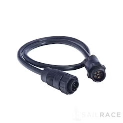
Navico NMEA2000 Cables

Navico NMEA2000 Cables
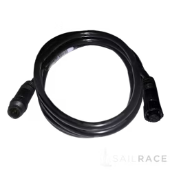
Navico NMEA2000 Cables
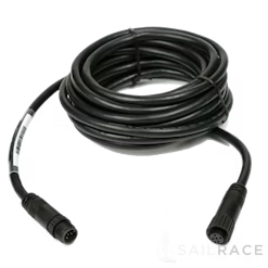
Navico NMEA2000 Cables
Navico NMEA2000EXT-25RD 7.58 m (25-ft) NMEA 2000® cable for network backbone extension only
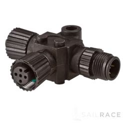
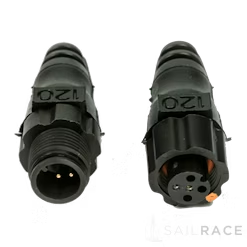
Navico Connectors
Navico NMEA2000-T-RD . Micro-C T-connector for connection of an additional network device
Lowrance NMEA2000 Cables
Navico Terminator
Navico TR-120-KIT . Set of 1 male and 1 female NMEA 2000® terminators
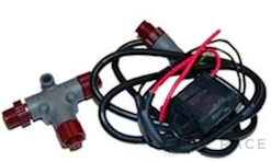
Navico Connectors
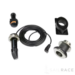
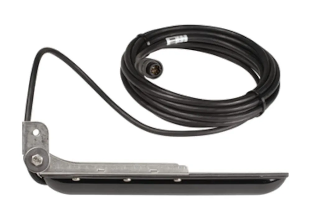
Navico FORWARDSCAN Mounts
Navico ForwardScan™ transducer kit with Sleeve and plug with 10m (33ft) Cable
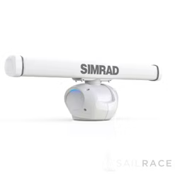
Simrad HALO-ANT4
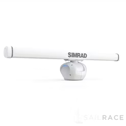
Simrad HALO-ANT6
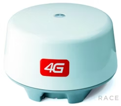
Simrad Broadband Radar
Simrad Broadband Radar

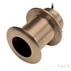
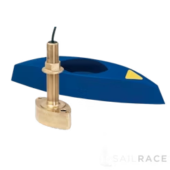
Navico XSONIC SS175
Navico XSONIC SS175L 0 degree Low CHIRP through hull transducer
Navico XSONIC SS75
Navico XSONIC Thru Hull

Navico XSONIC SS175
Navico XSONIC SS164

Navico XSONIC SS175
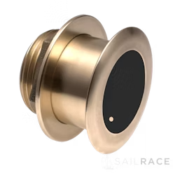
Navico XSONIC SS175M 0 degree Medium CHIRP through hull transducer

Navico XSONIC SS175
Navico XSONIC SS175M 12 degree Medium CHIRP through hull transdcuer
Navico XSONIC SS75

Navico XSONIC SS175
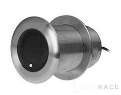
Navico XSONIC SS175L 20 degree Low CHIRP through hull transducer
Navico XSONIC SS175
Navico XSONIC SS175M 20 degree Medium CHIRP through hull transdcuer

Navico XSONIC SS175

Navico XSONIC SS164
Navico XSONIC P319
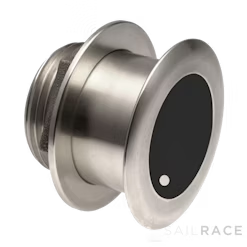
Navico XSONIC P319 Plastic Low Profile 600 W Thru Hull 50/200Khz Depth/Temp

Navico XSONIC Thru Hull
Navico XSONIC B150
Navico XSONIC SS175
Navico XSONIC SS75
Navico XSONIC B150

Navico XSONIC SS60
Navico XSONIC SS164

Navico XSONIC SS60
Navico XSONIC B150

Navico XSONIC Thru Hull
Navico XSONIC P66
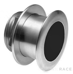
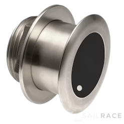
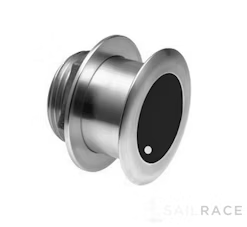
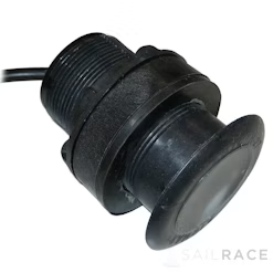
Navico XSONIC P66 Plastic transom mount transducer 50/200kHz Black 9 Pin connector
Navico XSONIC SS60
Navico XDCR Navico Adapters
Navico Connects 7 pin blue plug transducers to the 9 pin XSONIC black sockets on displays
Navico XSONIC B45
Navico XSONIC B258
Navico B258 Bronze 1 kW Thru Hull 50/200 Khz Depth/Temp w/HS Fairing Block . Beamwidth

Navico TotalScan ThruHull
Navico TotalScan thru hull transducer with Low and High CHIRP
Navico TotalScan ThruHull
Navico TotalScan thru hull transducer with Medium and High CHIRP
Looking for Parts and Spares? Consider the following official ones:
Navico Chartplotters Common Spares
Simrad Gimbal mounting bracket for GO9, NSS7 evo3, and Vulcan9, Zeus3 7 (Plastic)
Navico Chartplotters Common Spares
Simrad GO9 XSE
Simrad NSE Spares
Navico Chartplotters Common Spares
Navico Chartplotters Common Spares
Navico Gimbal Bracket Knobs for HDSGen2T/Elite7, NSS/NSSevo2, Zeus2
The following products are from the same Category as this one:
Simrad GO9 XSE
Simrad GO9 XSE
Simrad GO9 XSE
Reviews
There are no reviews yet