

LOCAL DELIVERY OPTIONS
Standard Delivery usually 3-7 days.Express Delivery usually 2-4 days.
PRICE GUARANTEE
If you find a cheaper price in the next 72 hours we will match it.
Original price was: 180,91 €.164,63 €Current price is: 164,63 €.
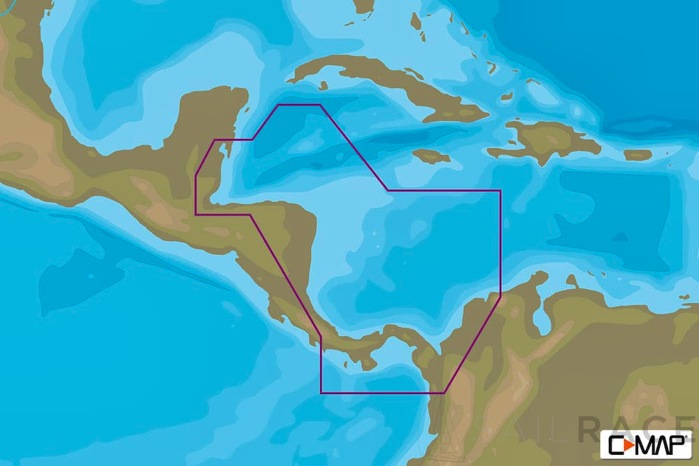
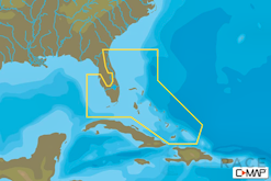
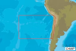
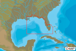
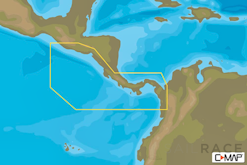
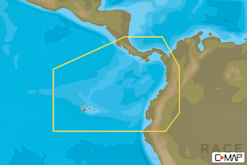
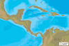
NA-Y966 : NA-Y966 mfd, MAX-N+ : Local.
Standard Delivery usually 3-7 days.Express Delivery usually 2-4 days.
If you find a cheaper price in the next 72 hours we will match it.
Claim your initial 5% discount on your first order by registering on the SailRACE community.
Get support by officially certified experts. Detail us your refitting needs and we will help you determining the best solution.
-MAX-N+ charts provide accurate, up-to-date information, unique features and specialized content to enhance every boating adventure.
-Easy Routing™ (US excluded)
-Dynamic Raster Charts
-High-Res Satellite Imagery
-High-Res Bathy Fishing Charts/Sport Fishing Data
-3D-View
-Custom Shaded Depths and Aerial Photos
-Detailed Marina Charts
-High Resolution Bathy Data
-Dynamic Tides and Currents
-Plus all of the features in MAX-N

| Weight | 0,044 kg |
|---|---|
| Dimensions | 9 × 18 × 2 cm |
| Brand | |
| Family | |
| Model | |
| Class Type | |
| Component | |
| Item Type |
The following products are from the same Category as this one:
C-MAP-AMER
C-MAP-AMER
C-MAP-AMER
Reviews
There are no reviews yet