
LOCAL DELIVERY OPTIONS
Standard Delivery usually 3-7 days.Express Delivery usually 2-4 days.
PRICE GUARANTEE
If you find a cheaper price in the next 72 hours we will match it.

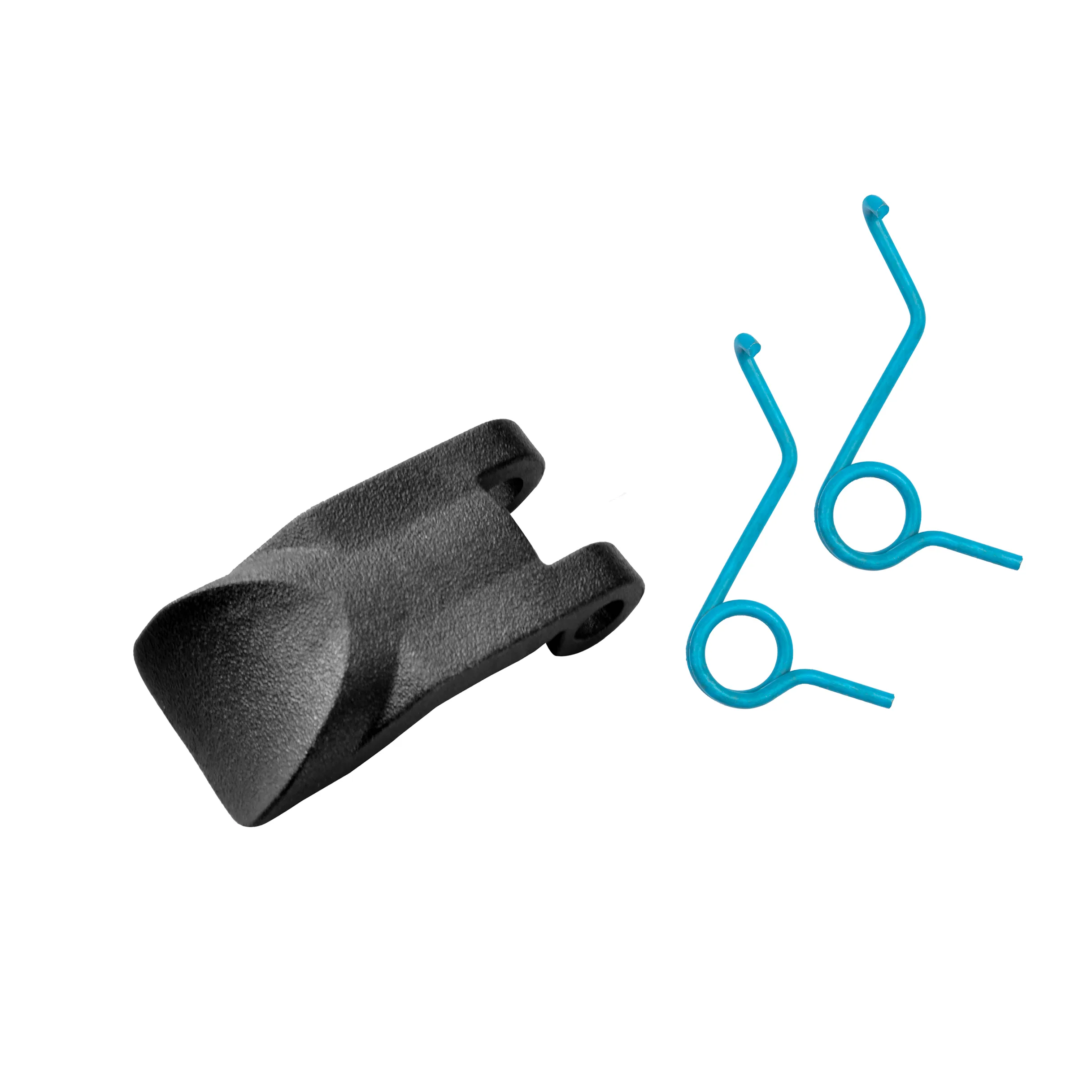
Original price was: 371,89 €.331,00 €Current price is: 331,00 €.
Standard Delivery usually 3-7 days.Express Delivery usually 2-4 days.
If you find a cheaper price in the next 72 hours we will match it.
Claim your initial 5% discount on your first order by registering on the SailRACE community.
Get support by officially certified experts. Detail us your refitting needs and we will help you determining the best solution.
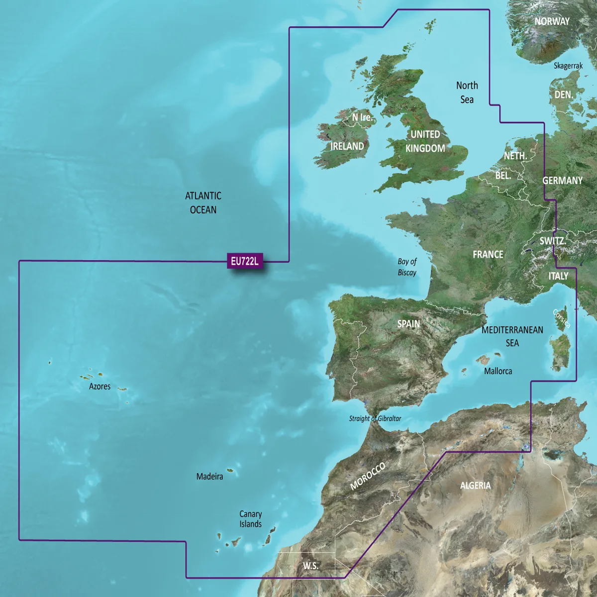
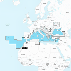
Premium cards
Enjoy incomparable coverage and a magnificent level of detail while you’re in the water. BlueChart® g3 Vision cards offer industry-leading coverage, clarity and level of detail with integrated Garmin and Navionics content.
Auto Route
For both navigation and fishing, select a point and get a route that shows the general route and the obstacles close to a safe depth.
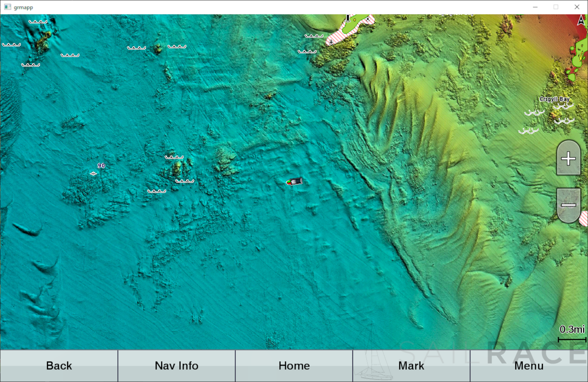
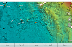
Shading relief shading
Available for the United Kingdom, Ireland, Belgium, France, Germany, the Netherlands and Norway, this exceptional shading feature combines colors and shadows to give you a clearer and easier-to-interpret view of the background profile, making it easier to find artificial reefs, underwater plates and much more.
Personalized depth scale
This function displays high-resolution custom depth scales for up to 10 scales, so you can see the depth of the target.
Shading of shallow water
To show a clear image of shallow water that you should avoid, this function allows you to shade a depth defined by the user.
Detailed contours
The BlueChart g3 cards show contours every 30 cm that provide a more accurate representation of the structure of the bottom so that you can enjoy optimized fishing charts and a higher level of detail in swamps, canals and port planes.
High-resolution satellite images
High-resolution satellite images with navigation chart overlays offer a realistic view of the environment. It is our most realistic cartographic representation on a plotter, ideal for entering the lesser-known ports.
FishEye view
This underwater perspective shows a 3D representation of the background and contours as seen from below the waterline. Interface with probe data for a personalized view.
MarinerEye view
This view provides a 3D representation of the surrounding area, both above and below the waterline.
Aerial photography
High-quality aerial photography offers an exceptional level of detail of a multitude of ports and marinas, ideal for accessing the lesser-known ports.
The following products are from the same Category as this one:
Uncategorized
Uncategorized
Uncategorized
Uncategorized

Reviews
There are no reviews yet