
LOCAL DELIVERY OPTIONS
Standard Delivery usually 3-7 days.Express Delivery usually 2-4 days.
PRICE GUARANTEE
If you find a cheaper price in the next 72 hours we will match it.
Original price was: 169,00 €.153,79 €Current price is: 153,79 €.
Standard Delivery usually 3-7 days.Express Delivery usually 2-4 days.
If you find a cheaper price in the next 72 hours we will match it.
Claim your initial 5% discount on your first order by registering on the SailRACE community.
Get support by officially certified experts. Detail us your refitting needs and we will help you determining the best solution.
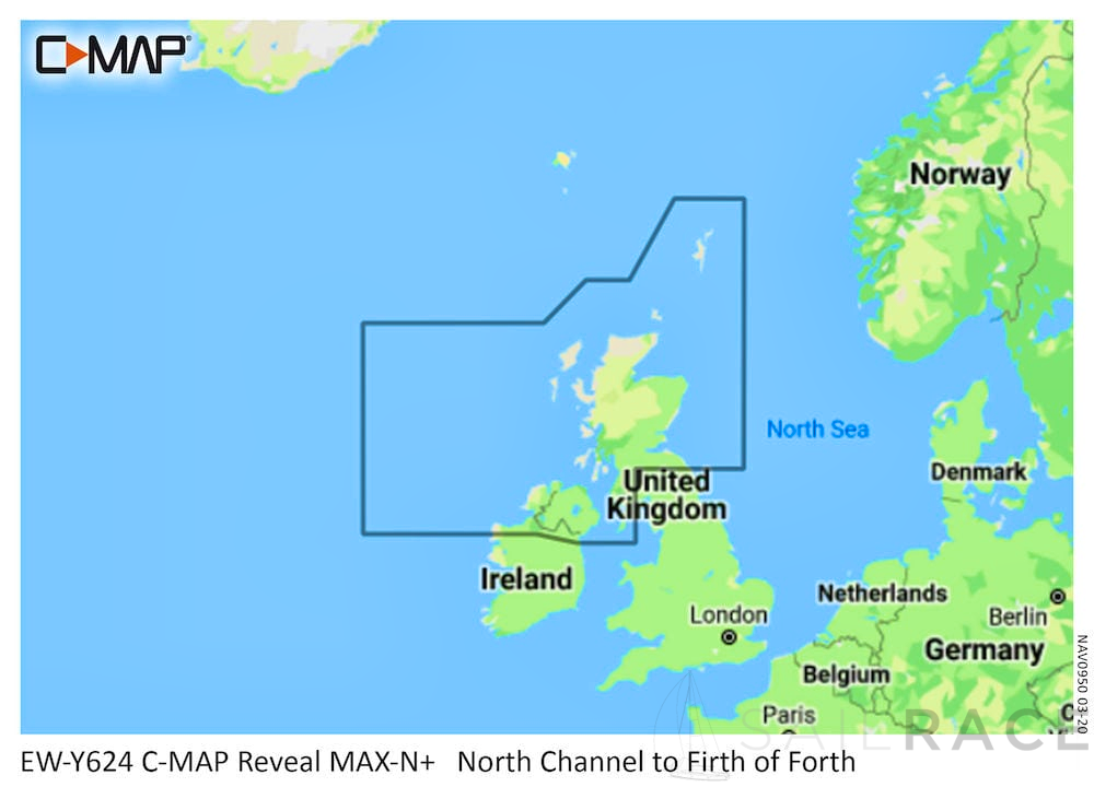
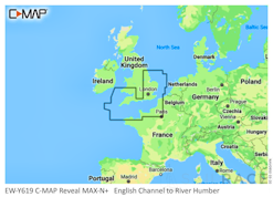
MAX-N+ is the go-to chart to power your fishing, cruising or sailing trips.
Compatible with B&G, Simrad & Lowrance Chartplotters. Check the C-MAP website for full compatibility by manufacturer and model.
C-MAP MAX-N+ Reveal imagery replaces shaded relief data in selected areas with more accurate depth variations, revealing the best fishing and diving spots, helping anglers and divers make the most of their time on the water.
Like all C-MAP charts, when you buy a MAX-N+ Reveal Chart you will receive free chart updates for 12 months.
MAX-N+ Reveal Chart Features include:
| Weight | 0,08 kg |
|---|---|
| Dimensions | 13,5 × 19 × 0,08 cm |
| SKU | M-EW-Y619-MS |
| Brand | |
| Class Type | |
| GTIN | 9420064117277 |
| Component | |
| Family | |
| Item Type | |
| Model |
The following products are from the same Category as this one:
C-MAP MAX-N+-REV-EURO

Reviews
There are no reviews yet